Arapaho & Roosevelt National Forests Pawnee NG
1 mi northwest · USDA Forest Service
.
Outdoors
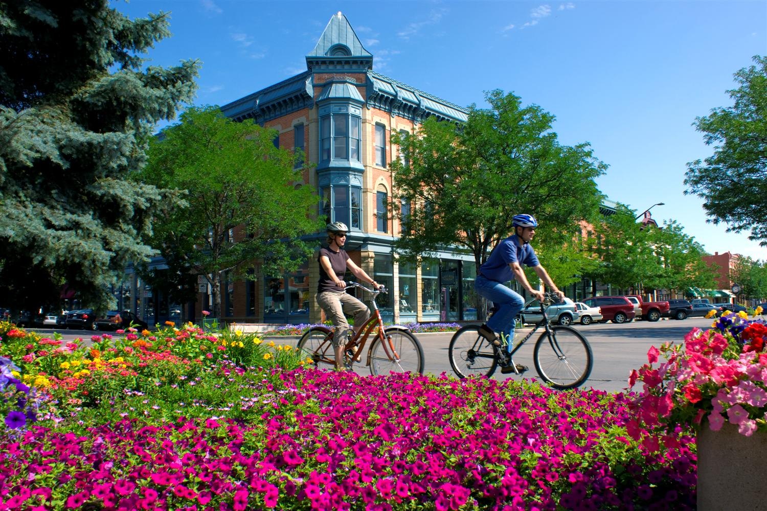
Day-use and picnic areas near Fort Collins on public land, from quick drives to full-day outings.
Good to know: Group picnic sites can often be reserved; fire rules change with the season, so check before bringing a grill.
1 mi northwest · USDA Forest Service
.
6 mi west · Bureau of Reclamation
Horsetooth Reservoir, Colorado-Big Thompson Project , furnishes the main water supply for the Poudre Valley. The reservoir is 6.5 miles long, and is formed by four large earthfill dams.
15 mi southwest · Bureau of Reclamation
Flatiron Dam and Reservoir are located on Chimney Hollow Creek 8 miles southwest of Loveland, Colorado. The dam and reservoir are features of the Colorado - Big Thompson Project . One campground with 41 campsites. Access is good.
Map of 20 places loads as you scroll.
.
Horsetooth Reservoir, Colorado-Big Thompson Project , furnishes the main water supply for the Poudre Valley. The reservoir is 6.5 miles long, and is formed by four large earthfill dams.
Flatiron Dam and Reservoir are located on Chimney Hollow Creek 8 miles southwest of Loveland, Colorado. The dam and reservoir are features of the Colorado - Big Thompson Project . One campground with 41 campsites. Access is good.
Developments include 5 campgrounds with 151 campsites and 3 boat-launch ramps. A concession-operated public marina located at the north end of the lake (970.667.1062).
Pinewood Lake is located about 12 miles southwest of Loveland, Colorado. The Lake and Dam are a small part of the Colorado-Big Thompson Project , one of the largest and most complex ever constructed by Reclamation.
Lake Estes, a feature of the Colorado-Big Thompson Project , is formed by Olympus Dam constructed across the Big Thompson River.
Marys Lake is part of the Colorado-Big Thompson Project. There are 2 dikes on the shoreline of Marys Lake, located approximately 2 miles from Estes Park, Colorado.
Aspenglen is located on the east side of Rocky Mountain National Park near Fall River Entrance. All campsites in Aspenglen Campground are available by reservation only and can be reserved via Recreation.gov.
East Portal Reservoir is a feature of the Colorado - Big Thompson Project. This charming campground sits at the base of a mountain in the midst of a pine forest.
The Redfeather Ranger Station has two cabins, and an office with a visitor's center. The Ranger Cabin and the Assistant Ranger Cabin are available for lodging. Guests must provide linens, bedding, pillows, towels and toiletries.
Moraine Park Campground is located on the east side of Rocky Mountain National Park, overlooking Moraine Park. To access the campground, enter RMNP via Beaver Meadows, Fall River or Grand Lake Entrances and follow signs to Bear Lake Road.
All campsites at Glacier Basin Campground are available by reservation only through Recreation.gov. To make a reservation, visit www.recreation.gov, use the Recreation.gov Mobile App, or call 1-877-444-6777.
Located in northern Colorado, visitors to Rocky Mountain National Park can explore over 415 square miles (265,807 acres) within the Southern Rocky Mountains.
Shadow Mountain Dam and Reservoir, Colorado-Big Thompson Project , are on the Colorado River below its confluence with the Grand Lake outlet. Developments include 1 campground with 80 campsites and 2 boat-launch ramps. Good access exists.
Granby Dam and Lake Granby, features of the Colorado-Big Thompson Project are on the Colorado River near Granby, Colorado. Developments include 260 campsites and 3 boat-launch ramps.
Willow Creek, a tributary on the Colorado River near Granby, Colorado, is diverted by Willow Creek Dam and Canal, features of the Colorado-Big Thompson Project.
to Medicine Bow-Routt National Forests and Thunder Basin National Grassland! Visitor opportunities abound on almost 2.9 million acres of National Forest System lands.
Bear Creek Dam, the last of three dams built to protect the Denver region from floods, is located on the southwest edge of suburban Lakewood at the confluence of Bear Creek and Turkey Creek.
Cherry Creek Dam, located at the southeast edge of Denver in Aurora, CO, was the first of the three dams to be built to protect the Denver region from catastrophic South Platte River floodwaters that plagued the area for more than 100…
Chatfield Dam, located southwest of Denver on the South Platte River, was the second of three dams built to protect the Denver region from floods.
Distances are straight-line miles from downtown Fort Collins. Listings come from Recreation.gov’s federal recreation database; check each official page for hours, fees, fire restrictions and closures before you go.
THINGS TO DO · YOUTUBE SHORT
A local activity Short shared by Happy Nomads.
Watch on YouTube ↗
THINGS TO DO · YOUTUBE SHORT
A local activity Short shared by Colorado State University.
Watch on YouTube ↗


Arapaho & Roosevelt National Forests Pawnee NG (USDA Forest Service), about 1 miles northwest of Fort Collins as the crow flies. Next are Horsetooth Reservoir (6 mi) and Flatiron Reservoir (15 mi).
Based on Fort Collins’s average highs, April–October. Conditions at higher elevations can be much cooler.
Federal agencies including Bureau of Reclamation, National Park Service, USDA Forest Service. Each listing links to its official page for hours, fees, closures and current conditions.